Serviços Especializados
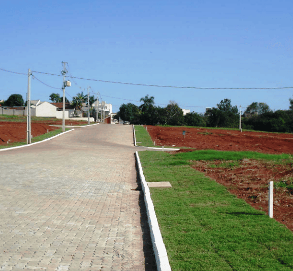
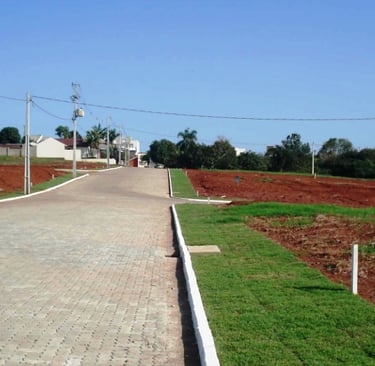
Regularização Fundiária
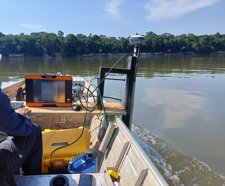
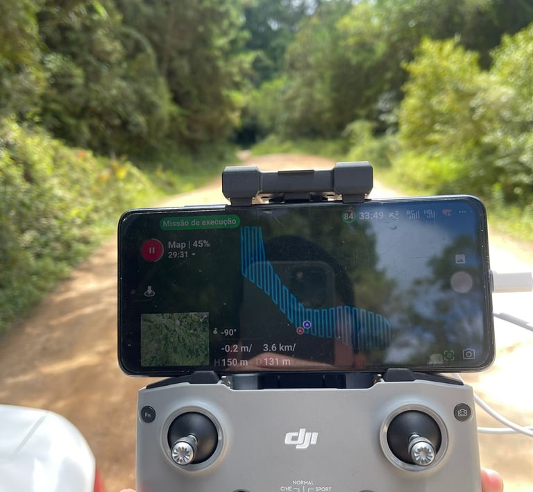
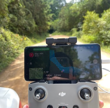
Levantamento batimétricos com alta tecnologia, o eco batimetro apache possibilita a coleta de pontos com equipamento tripulado via controle remoto.


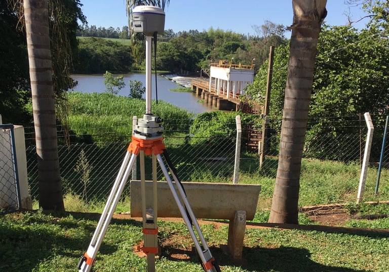
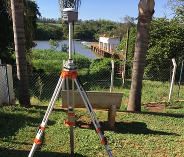
Georreferenciamento
Somos credenciados no INCRA para desenvolver georreferenciamento.
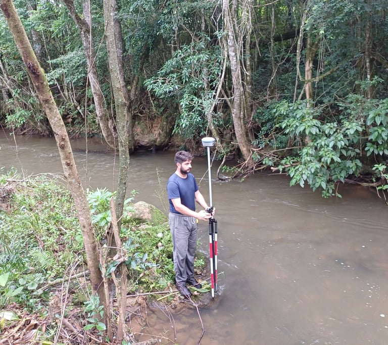
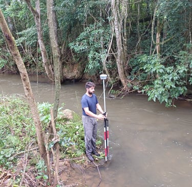
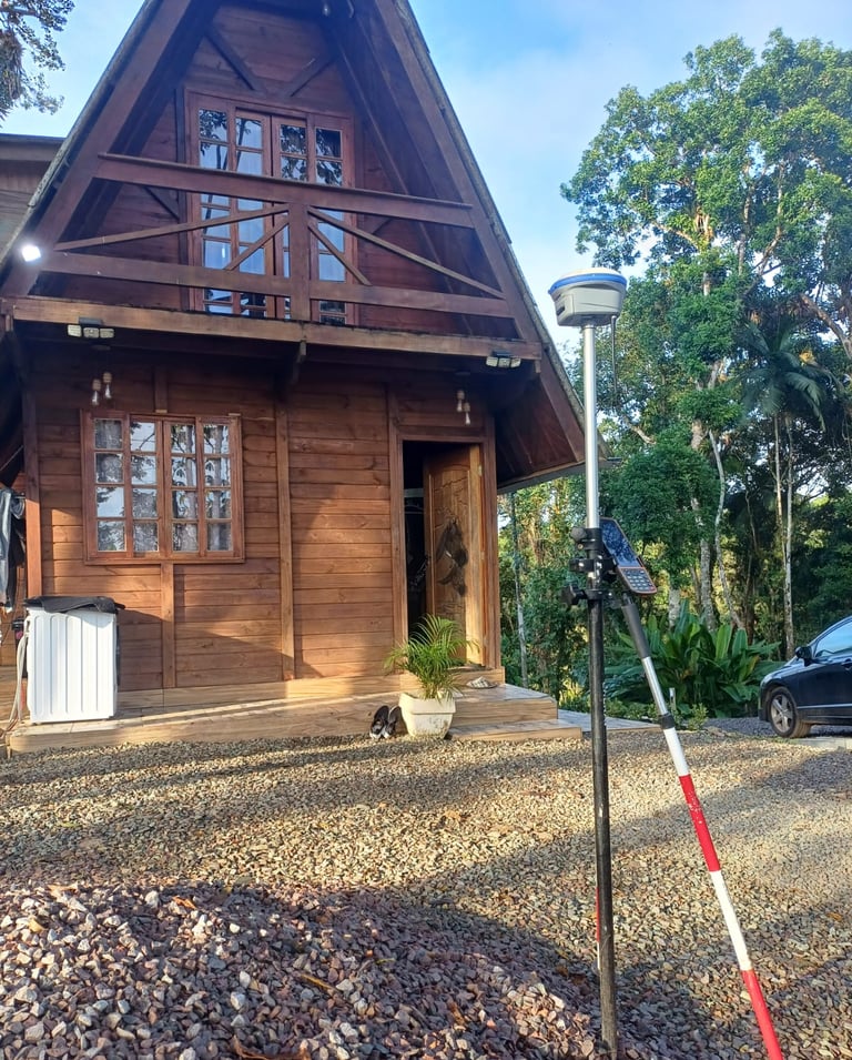
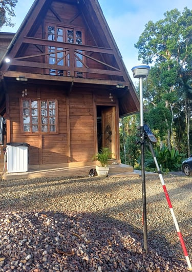
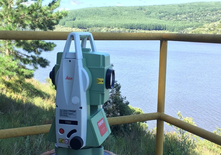
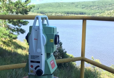
Serviços de topografia e levantamentos topográficos.
Topografia
Atuamos na regularização fundiária, com INCRA, CAR, IBAMA, escrituras, abertura de matriculas, documentação para loteamentos e chácaras .
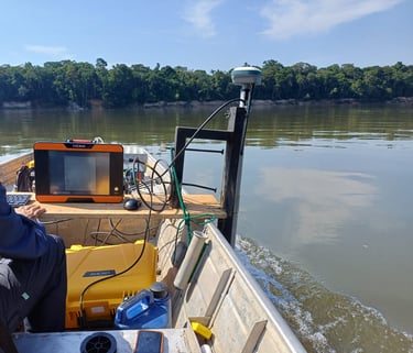
Eco Batimetro Apache
Trabalhamos também com a operação do equipamento.
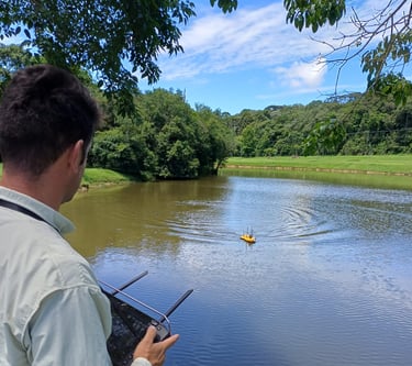
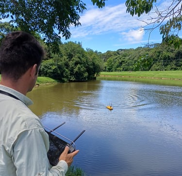
Operação do eco batimetro Apache
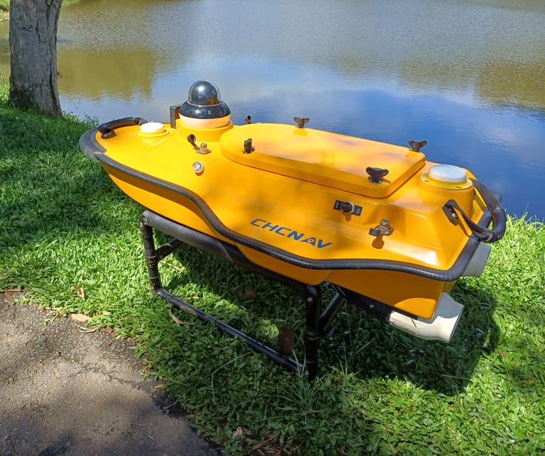
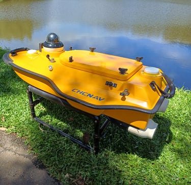
Eco batimetro CHC D390
Levantamento batimétricos com a utilização do eco batimetro embarcado.
Galeria